Yuzhen Li, remote sensing scientist/statistician and one of our 2022 Innovators of the Year, on vacation in Alaska.
Having detailed, accurate information about stream networks is critical for our Timberlands teams to protect and manage water resources on our land. This information facilitates our forest harvest, planning and silviculture operations, as well as environmental compliance and our sustainability and certification processes. But it’s not easy data to get — in many places the forest canopy covers streams and other water features, making them difficult to spot using standard mapping tools.
Over the past five years, Yuzhen Li, a remote sensing scientist/statistician based at our Seattle Headquarters, has been developing an innovative water-mapping tool that produces high-resolution stream channel networks and wet area mapping layers for millions of acres of our land and adjacent areas. This Next Generation Water Mapping tool takes advantage of high-resolution 3D LiDAR data we already acquire internally for forest inventory and uses it to generate one-meter-resolution stream channel networks — a level of accuracy that greatly exceeds public data sources and provides stream attributes that aren’t available in public data.
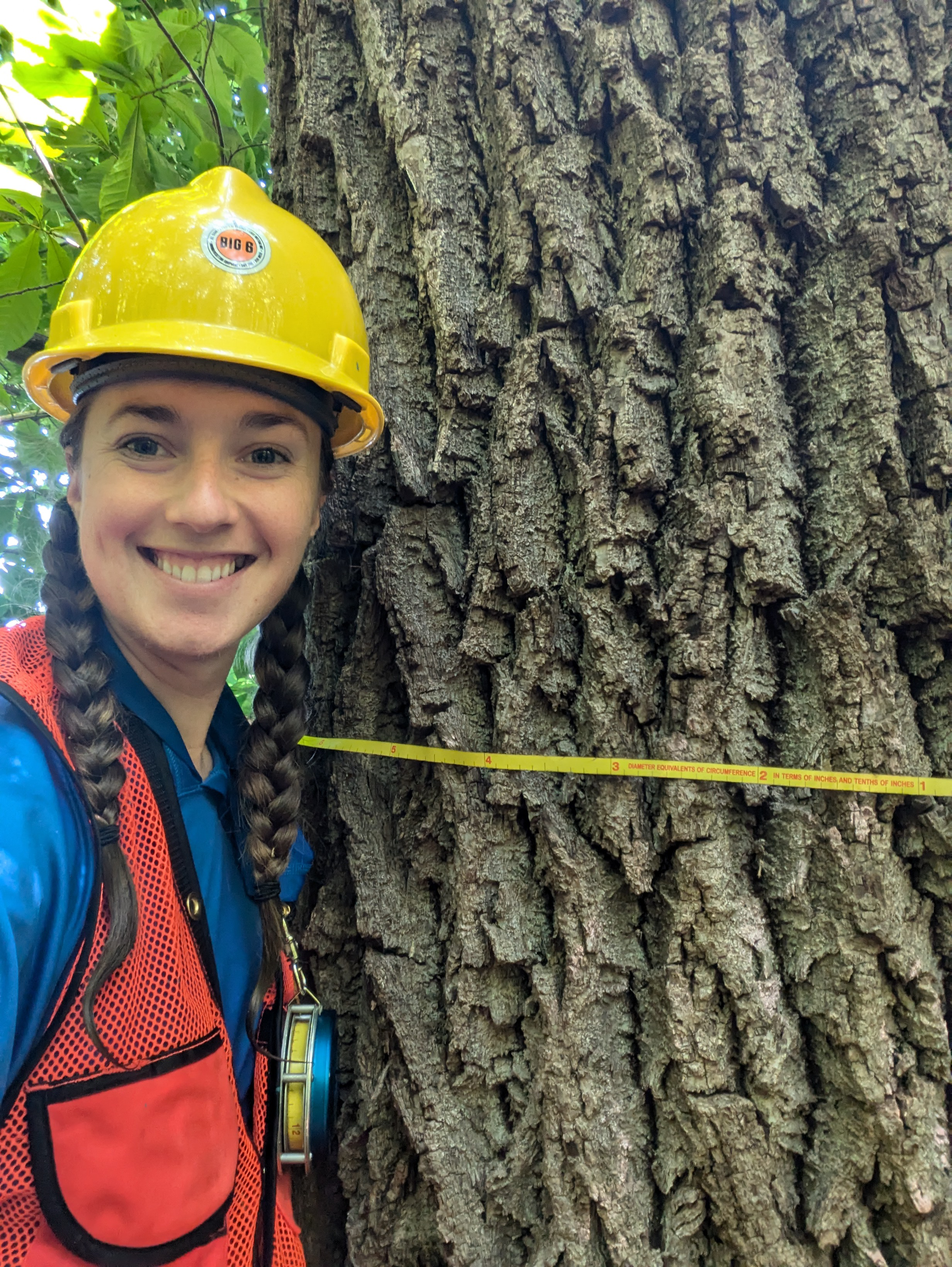
Yuzhen and her colleagues on the Advanced Forestry Systems team visit the Vail tree farm this past August.
For her work as lead developer of the Next Generation Water Mapping tool, Yuzhen was recognized as one of five recipients of the 2022 Innovator of the Year award. Launched in 2021, this annual award recognizes and celebrates employees who are driving improvements and fueling operational excellence through their ideas, actions and the innovative environment they help create on their teams.
An example of Yuzhen’s stream channel networks map for our Northern Louisiana-Arkansas Timberlands region. 'The next generation tools will help us stay ahead of the national standard and ahead of our competitors,' Yuzhen says. 'They put us on the cutting edge.'
NEXT-LEVEL PRECISION AND RESULTS
With its one-meter resolution covering millions of acres, the Next Generation Water Mapping tool is like using a giant magnifying glass to look at our land — even under the forest canopy, Yuzhen says. It allows us to extract stream attributes that are far more accurate and complete than the 10-meter resolution available in public data from sources such as the U.S. Geological Survey.
That 10-time magnitude increase in resolution helps us pinpoint watershed boundaries, stream location and water flow direction, allowing our Timberlands teams to improve their harvest planning and efficiency and take boots off the ground when planning road and bridge construction. The Next Generation tool also facilitates environmental compliance and allows our teams to more easily identify and map out riparian buffers to protect watersheds.
“The tool opens the door for improved hydrology modeling,” Yuzhen says. “We were even able to use these new maps last year during negotiations about the Oregon Private Forest Accord to show the state, environmental groups and other involved parties that we could accurately locate and protect watersheds and develop effective habitat conservation plans.”
An example of the Wet Area Mapping tool for a portion of our Piedmont region in Georgia.
WORKING TOGETHER TO DEVELOP AND DELIVER VALUE
Developing the tool required analytics, algorithm development, code writing and more, along with a need for extended learning that took Yuzhen well beyond her remote sensing and statistical modeling background.
“I’m not a hydrologist — I’m a remote sensing scientist with a background in forest biometrics and statistics” she says. “I’m thankful for all the support from my team in Timberlands Strategy and Technology, including from Suzanne Cuthbert, vice president of Timberlands Strategy & Technology, who recognized the potential at the very beginning of the project. My work builds on work done by others at Weyerhaeuser before me, and I was able to collaborate with so many skilled people in the company, from teams in Environmental Research, Timberlands Planning and Inventory, and multiple regions in Southern Timberlands and Northern Hardwoods. With their help, I was able to transfer what I know into something that many others can use.”
Today, Yuzhen works with a team, including Mara Valdez, hydrologic data analyst, to process data to add to the tool. It’s a complex and computation-intensive process that requires manual editing and checking to ensure high-quality results, and so far they’ve mapped a total length of 195,000 miles of stream channels, covering more than 20 million acres of land.
In 2021 Yuzhen volunteered to help harvest crops at the Food Bank Farm in Washington’s Snohomish River Valley.
"The innovative part is being able to use the information over millions of acres of our land — and the land adjacent to ours — and it’s great to see people across the company, including teams in Timberlands, Law and Public Affairs, use the products and find value in them,” she says.
And since Yuzhen and her colleagues developed the tool in-house, we own the technology from beginning to end.
“Yuzhen’s innovative work in water mapping provides a significant competitive advantage,” says Brian Chaney, vice president of Engineered Wood Products & Innovation. “And it has broad application to drive operational excellence across our entire Timberlands business.”