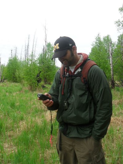
Erik collects validation data in northern Alberta, Canada, for a remote sensing wetland delineation project.
For most of our company’s history, we have largely relied on ground observations to measure the volume of wood in a stand or understand the health of the trees. But today, satellite imagery can tell us a lot about what’s happening on our land — at an increasingly fine resolution — and Erik Boren joined Weyerhaeuser in 2020 to help us acquire and apply satellite data to support our operations.
Erik, a remote sensing specialist in our Advanced Forestry Systems group in Timberlands, is no stranger to using satellite data to make land-use decisions. At his last company, he helped farmers increase their crop productivity in much the same way, and he’s had a strong interest in natural resources, applied science and research and development since he served as a remote sensing intern at Michigan Tech Research Institute.
“That's when I started developing my professional skills in data acquisition and processing using satellite imagery to tell us what's happening on the earth’s surface,” he says. “I worked on projects funded through NASA and the U.S. Department of Agriculture. Some projects even involved field work in Canada, Europe and Russia. I did burn-severity studies and wetlands mapping; I tracked land use change and deforestation. And I discovered that this is what I really like to do.”
Erik hikes in the Porcupine Mountains Wilderness State Park in Michigan’s Upper Peninsula, home of the most extensive stand of old growth northern hardwood forest in North America west of the Adirondack Mountains.
GET TO KNOW ERIK
What's your background?
I earned my bachelor’s degree in environmental science and natural resources with a specialization in toxicology and environmental health at the University of Michigan in 2011. Eventually, I got the opportunity to continue my education at the University of Idaho, where I earned my master's and Ph.D. in natural resources with a remote sensing background.
What were you doing prior to Weyerhaeuser?
I worked at Climate Corporation, a subsidiary of Bayer Crop Science. Yes, that’s Bayer as in the aspirin. Climate was a startup digital agriculture company within Bayer, and they had developed an app to help farmers manage their land to maximize yield and minimize water use. It was very similar work to what I'm doing here, but in agriculture instead of timberlands.
Erik, left, talks with local growers in Genesee, Idaho, for his dissertation research. He’s wearing a spectroradiometer backpack, which was used to take validation reflectance measurements from the top of the canopy of the wheat field.
Why did you choose Weyerhaeuser?
Initially, I thought Weyerhaeuser would be a great fit for me professionally because it aligns with my natural resources background. And from the very first interview I realized it would also be a good fit for me personally. I interviewed in 2020, when everyone on the team was working from home, so all my interviews were online. And moments before the interview started, I lost power and internet connection at my house in Kingston, Washington! I had to run downtown to find a public Wi-Fi connection. I was all flustered and out of breath, but Greg Johnson, director of the Advanced Forestry Systems team, had such a calming voice and presence. He was able to center me during the interview, so I knew the team had good leadership.
What do you do as a remote sensing specialist?
I’m developing a remote sensing platform for acquiring satellite data and then processing it to a format that can provide insights that support our operations. One project I’m working on is using satellite data to study the impacts of herbicide treatment over time. We can, at the pixel level of a satellite image, select which areas to spray within a stand instead of spraying the whole thing. It contributes directly to our sustainability impact and OpX, because it improves efficiency and saves the company money by reducing herbicide treatment.
Erik stops at the welcome sign for Canada’s Northwest Territories on his way up to Great Slave Lake.
How do you describe what you do to your family and friends?
I apparently don't do it very well because my mom still doesn't understand what I do! But I try to explain how we use satellite images to see forest growth over time, which tells us the rate of growth and potential harvest volumes. We can also use images to spot disease, determine burn severity and help people make decisions they may not have had the ability to make by just relying on ground observations.
What's been most different here compared with your work in agriculture?
The timeframe I’m working with. In agriculture, you see how a treatment impacts the outputs in terms of yield right away. Therefore, you have a lot of data to build your model based on multiple rotations. Here, I might be looking at a stand with a 40-year rotation, and we don’t have a long enough record to see multiple 40-year rotations for the stand.
Have you had any bumps in adapting along the way?
Even though I started fully remote, it was an easy onboarding experience. I finally got to meet the four other people on my team face to face earlier this year, after two years of working with them virtually. But it felt like we'd been working in the office together all along! So, it hasn't been as strange as I thought it would be.
Erik traveled to Red Square in Moscow, Russia, while attending the fourth Fire Behavior and Fuels Conference in St. Petersburg.
What do you want to learn more about?
I’d like to learn more about silviculture in general. Now that we’re back in the office, I can just walk over to start conversations with other AFS team members. That often yields some really good stuff that’s harder to get when everyone is remote! Having that exposure to world-class foresters and getting the opportunity to learn from them has been great.
Where do you see yourself in a year or five years?
I really enjoy working here. Someday, I’d like to be in a position where I can mentor somebody in the same way I've been mentored and pay that forward.